A new Stanford University research project underscores the vital role the Postal Service has played in the nation’s growth.
When Stanford historian Cameron Blevins sought to visualize the history of the American West, he used the opening and closing of western Post Offices to show how some communities prospered while others failed.
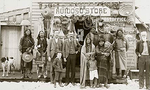
Between 1840 and 1900, more than 14,000 Post Offices were established in the West to meet the needs of an expanding American public.
These offices played a “foundational role in connecting a sparsely settled region of miners, ranchers and soldiers,” Blevins told Stanford’s news site last week.
Geography of the Post, the interactive website Blevins created with fellow historian Jason Heppler, relies on an enormous data set of 166,000 Post Offices, collected by a postal historian and stamp collector over several decades.
One caveat: Some Post Offices weren’t mapped, while others were mapped more than once.